Gis Data
Advertisement
Canvas GIS Advanced (Mac) v.9.0.4
About Canvas GIS Advanced (Mac)Adds native support for Geographic Information System (GIS) data to Canvas.
Advertisement
GPX Converter for ArcGIS v.2.0
GPX Converter for ArcGIS can convert GIS files to GPX format, allows for easy conversion of your GIS data (shapefiles, featureclasses in a geodatabase and other formats supported by ArcGIS) to GPX format (the GPS Exchange Format).
ArcExplorer v.4.0.1
ArcExplorer is a lightweight GIS data viewer developed by ESRI.
SketchUp ESRI Plug-in v.2.0.006
This plug-in enables ArcGIS for SketchUp 6 professionals to create and visualize highly-detailed three-dimensional textured models based on their GIS data.
3DGIS Cityvu v.0.9.6.3
Cityvu is a 3D GIS data viewer able to load CityGML data format from any compatible data source. Cityvu features 3D hardware rendering using OpenGL with a complete navigation system that allows automated tour of the rendered scene.
JGISTools v.b.0.1
jGisTools is a Java library aiming to provide tools for visualizing GIS data in Java applications.
VectorGIS v.1.0
Tools for creating interactive svg maps from GIS data
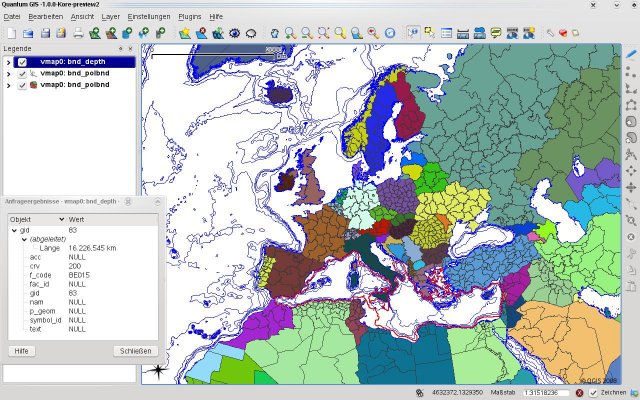
Quantum GIS form Mac v.1.8.0
QGIS supports vector, raster, and database formats and lets you browse and create map data on your computer.
Cube Base v.1.0
Cube Base is the powerful and comprehensive user interface for all Cube modeling modules and extensions. Cube Base is used to design and apply the models, to edit and manage all input and output data and to run and analyze scenarios.
ArcGIS v.10.0.3200
ArcGIS is a system that lets you easily author data, maps, globes, and models on the desktop and serve them out for use on a desktop, in a browser, or in the field via mobile devices, depending on the needs of your organization.
PlanetGIS Explorer v.3.0.8.5190
PlanetGIS Explorer is a free viewer for PlanetGIS maps and GIS exchange files. PlanetGIS Explorer allows you to navigate through maps, query map elements and view attribute information from linked database tables.