Gis Data
Advertisement
OpenJUMP v.1. 4. 2002
OpenJUMP is an open source Geographic Information System (GIS), it can read and write shapefiles and simple GML files. It has limited support for the display of images and good support for showing data retrieved from WFS and WMS web-services.
Advertisement
GrassPro v.6.4
GrassPro is based on the free, open-source product "GRASS 6.
ArcGIS for AutoCAD v.3.0.210
ArcGIS for AutoCAD is a free, downloadable plug-in application for AutoCAD that provides improved interoperability between AutoCAD and ArcGIS. Within the AutoCAD environment, you gain easy access to enterprise GIS maps hosted by ArcGIS Server.
COGOCAD v.2 3
CogoCAD PRO is a software program used in: Surveying Landscaping Irrigation Forestry Archaeology Golf Course Mapping Graphic Design and other professions for managing data, designing survey plats, and generating maps.
Autodesk MapGuide SDF Loader v.6 5
You can use your existing digital (vector) maps in Autodesk MapGuide® software by converting them to Spatial Data Files (SDF). SDF is a special data format for delivering large amounts of data quickly over an intranet or the Internet.
GPS Pathfinder Office v.5 20
Powerful and easy to use GPS data processing software The GPS Pathfinder Office software is a powerful and easy-to-use software package of powerful GNSS postprocessing tools, incorporating the new Trimble DeltaPhase differential correction techno
ArcView v.9 3
Using ArcView, you can understand the geographic context of your data, allowing you to see relationships and identify patterns in new ways.
Sundreams Software DXF-2-Reports v.1. 6. 2009
Sundreams Software's DXF-2-Reports contains a propriatary SQL-based CADD drawing engine. This new technology allows the insertion of unlimited fields of data to working CADD drawings. Also,

Autodesk Infrastructure Design Suite v.2013
AutodeskT« Infrastructure Design Suite is a comprehensive software solution combining the tools to plan, design, build, and manage utility and civil infrastructure.

UDig for Linux v.1.3.1
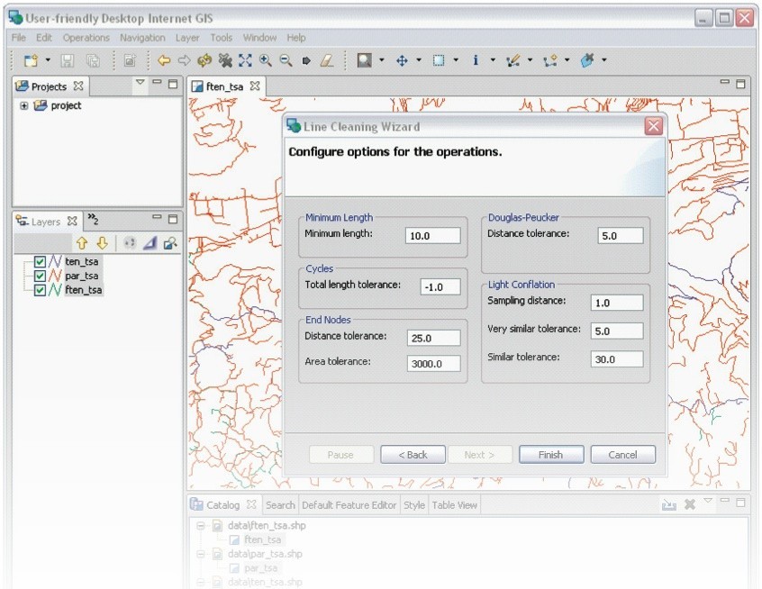
uDig is an open source (LGPL) desktop application framework, built with Eclipse Rich Client (RCP) technology.

UDig for Mac OS X v.1.3.1
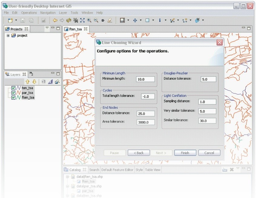
uDig is an open source (LGPL) desktop application framework, built with Eclipse Rich Client (RCP) technology.